The Battle of Stoke, along with Hedgeley Moor, Hexham, Edgecote Moor and Lusecote Field are much overlooked when it comes to analysing the politics of the Wars of the Roses, in fact, Stoke, is more often than not, not seen as part of this time period at all. The Battle of Stoke, which took place on the morning of the 16th June 1487, saw off the last of the Plantagenets and gave the Tudors a foundation on which to build their new dynasty, was an attempt by Yorkist loyalists to take the crown from the head of Henry VII and place it on the head of Yorkist figurehead Lambert Simnel, a claimant to the English throne, posing as Edward, Earl of Warwick.
" 9:00 am, after marching eight miles that morning from Radcliffe, the vanguard of the royal force, under the command of the Earl of Oxford, encountered the rebel army and deployed for battle. The rebel army advanced to the attack. Only the royal vanguard was engaged and, at first, they came under considerable pressure. Although probably outnumbered, these will have been the crack troops of the royalist army, better equipped and far more experienced than most of their opponents. As at Bosworth the Earl of Oxford's troops took the pressure and then counter attacked, first breaking the Yorkist army and then destroying them in the rout."
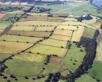
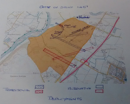
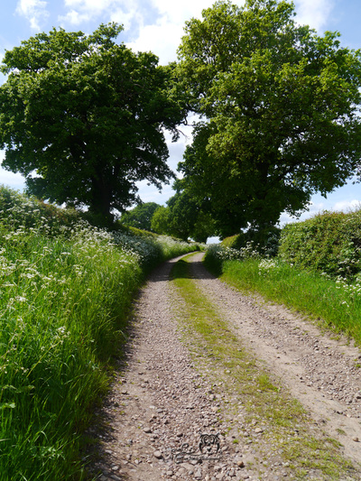
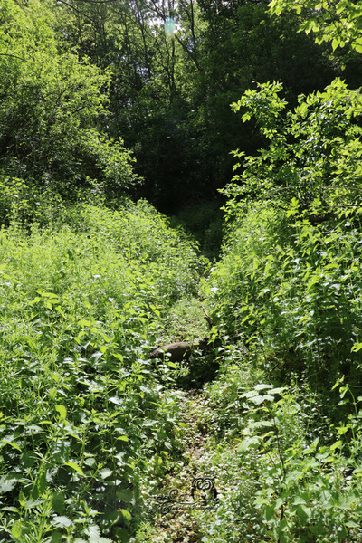
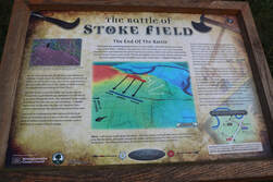
After three hours the Yorkist line was broken and all was lost. Blooded and frightened for their lives, those who survived the battle attempted to escape towards the top of the escarpment and down the embankment to Red Gutter, a gully that separates the battlefield from the floodplains of the River Trent. The legend that the vast majority of the Yorkists fled the battle making their escape from Rampire Hill via Red Gutter adds weight to the theory of the aforementioned 'alternative' battle line.
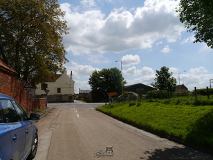
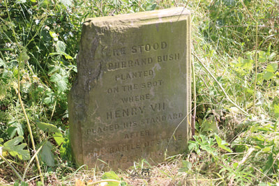
you can see in the fourth image.
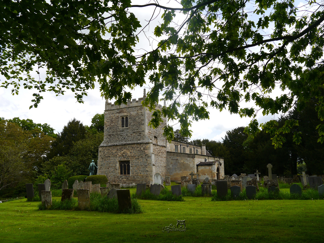
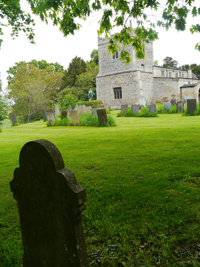
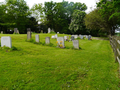
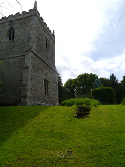
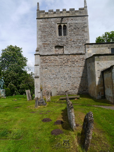
The estimate of the number of men killed at Stoke varies quite considerably, it ranges from 4000 to 7000, and all but a few hundred were Yorkist dead. Those who did not escape with their lives were carried or dragged the short distance into the grounds of St Oswald’s Church where they were hastily buried in a large pit. Evidence of the burial site is quite plain to see, the ground level of the churchyard is notably higher than the surrounding area, and it is significantly higher than the floor level within the church itself. A neat and well-kept grassed mound in a pretty English churchyard is all that remains of a battle that took place here so very long ago.
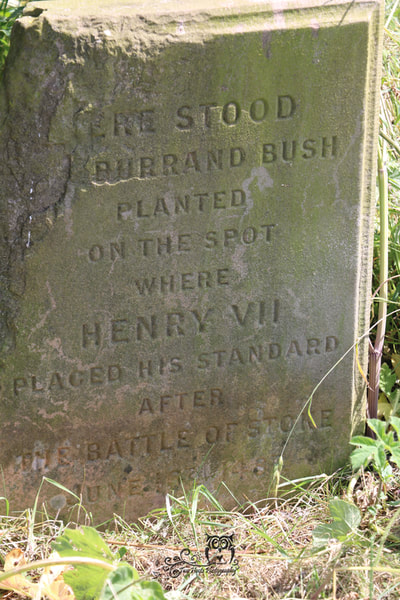
Here stood the Burrand Bush planted on the spot where Henry VII placed his standard after the
Battle of Stoke June 16th 1487.
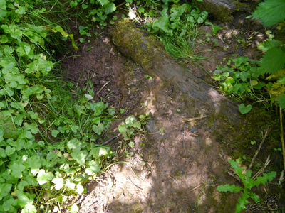
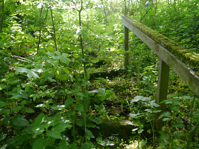
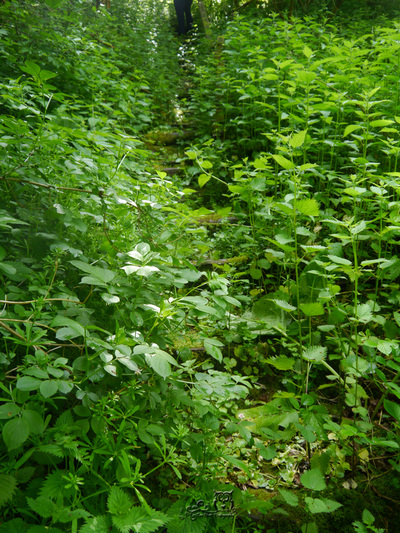
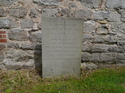
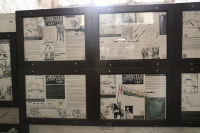
grey stones mark this area where such an important event in our history took place. The Battlefield Trail that at one time circled the site has fallen into disrepair, only a few rotting steps remain in place, the Burrand Bush Stone can no longer be seen, and the memorial stone to the fallen blends into the wall of the St Oswald’s bell tower so much so that if you don’t know it’s there you’ll miss it. The information boards that lie within the church are actually quite informative but again not easily noticed or accessed, both the porch latch and the doors to the bell tower were stuck so tight that pressure had to be applied for them to open.
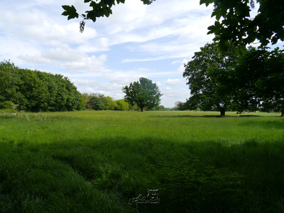
“I wonder what went on over there?"
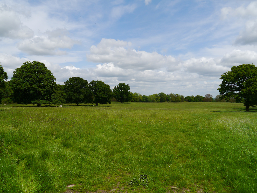
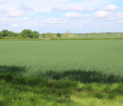
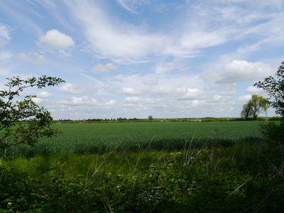
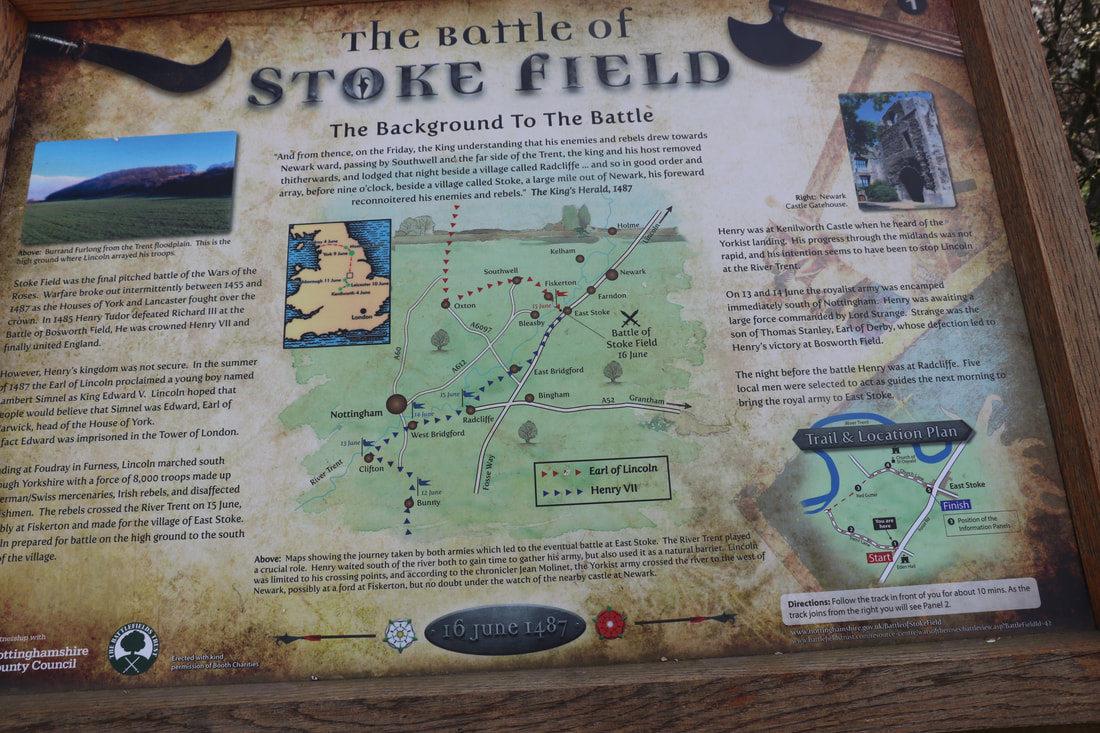
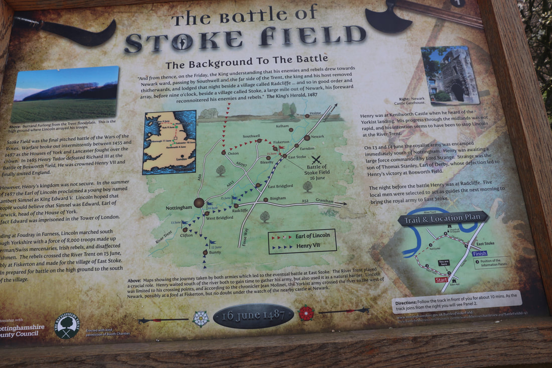
*I am pleased to say that since writing this blog two years ago something has been done (I cannot say how excited I am) and now the story of what when on here in 1487 can be told from the exact site. You can now walk a trail that circles the battlefield and see, almost exactly, what all those men saw in those awful moments before the first charge. You can read the story of the last battle of the Wars of the Roses on a series of five oak panels which describe the background to the battle, the bloody events of the day and the aftermath.
What is important to remember though, is that today, the land on which the battle was fought in 1487 is private land and the owner will not want people wandering all over his property and straying from the trail, it is important that this is always be respected.
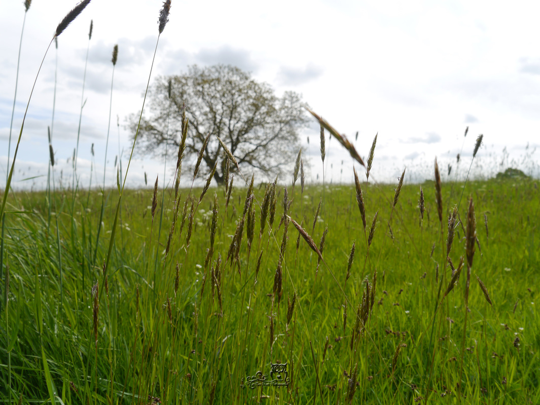
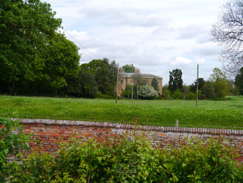
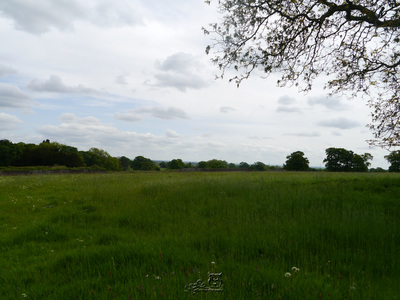
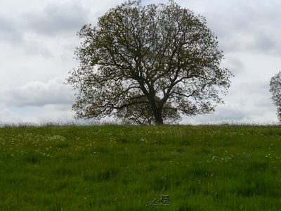
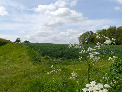
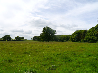
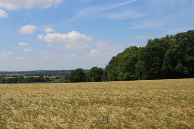
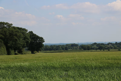
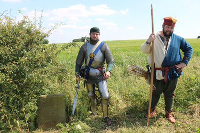
Most of my photographs were taken in 2016 on the boundaries of the battlefield, from behind fences and gates, which is as close as we could get to the site. Others were taken from Humber Lane, however, we did walk a short distance up a well-used track to get some photographs of Burrand Furlong, at no point did we trample through the landowner's crops. Other photos added since then are from a tour, led by Mike Ingram in 2017, in which permission was granted by the land owner to visit the Burrand Stone (That brought a lump to my throat I must say!) and in April of this year.



 RSS Feed
